From integrating field-based remote sensing insights into business processes to AgKnowledge API and sustainability topics: 10 years of Geocledian is the right opportunity to look back on challenges as well as on continuous growth, progress and success!
A Decade of Crop Monitoring
The Genesis
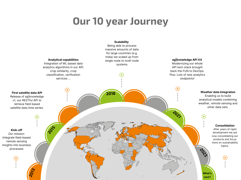
When Stefan founded Geocledian in 2013 he never thought about what it would be like in 10 years. 5 years maybe, but 10 was far too far away. He didn’t even have a clear business idea. But he was proud of the name he found: Geocledian. Derived from „Euclidean geometry“ by swapping the „i“ and the „e“. „Cledian“ sounded like a roman name, and it works well in most languages with latin origins.
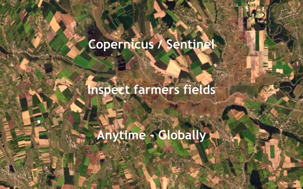
To fill the gap of the missing business idea, he remembered an idea he had a while ago. At this time remote sensing analysis was a time-consuming project work. Why not making it much simpler? Request the data for just the few fields most users were interested, and get back almost instantly all usable images, analysis ready, in any standard software. The solution was a simple REST API and no OGC standard. Sounded weird at this time, two years before Sentinel 2 was launched, and it was.
Bootstrapping to release Version 1.0
The first version Stefan built himself coding in the evenings. (To learn more about the technological Genesis please check our Johannes article on the technological evolution of Geocledian.) Since Stefan did a lot of consultancy work in parallel to earn the money, he needed to find somebody to continue his work. That was when Toni (left) joined Geocledian, the first employee.
To raise some money Stefan had to sell the idea first – before being able to sell the product. Bringing an investor in was not an option after his previous experiences with this type of financing, so bootstrapping was the preferred choice.
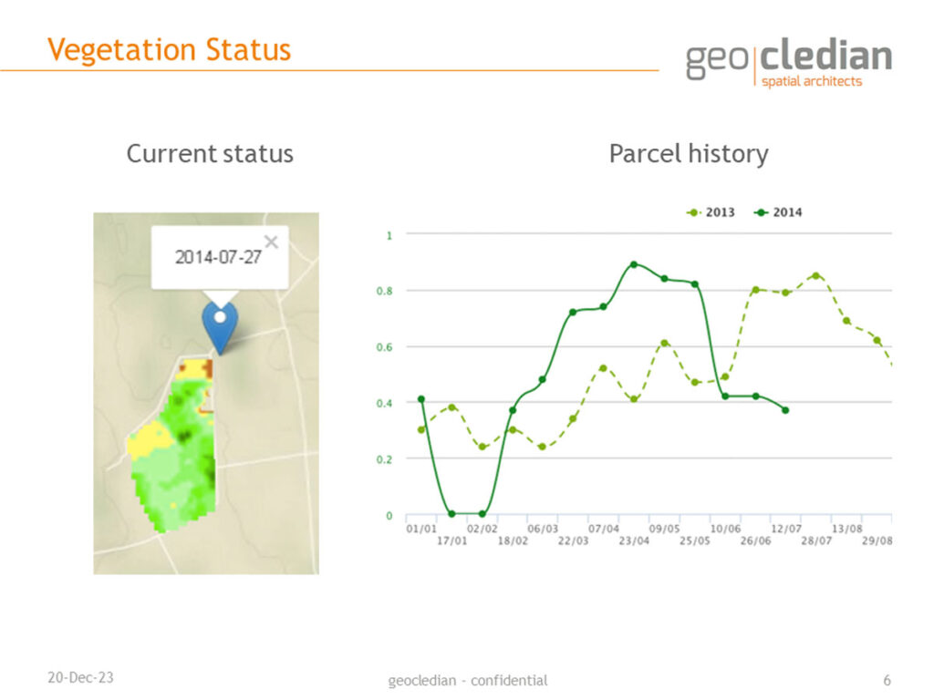
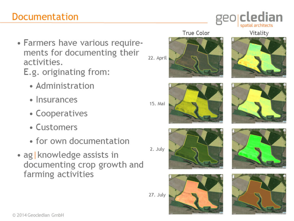
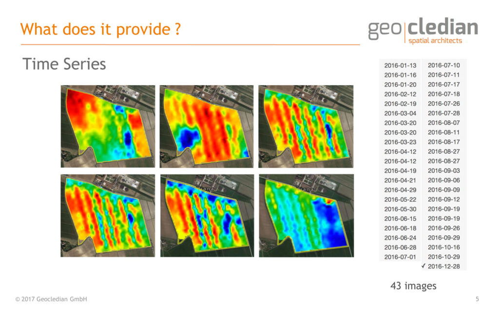
ESA BIC together with a project fund called SmartAgriFood were our first supporters. Both with different but similar strange underlying conditions. We had to move to Germering and to use FIWARE. The money allowed us to develop the first version of AgKnowledge, how the API was now called. It served cloud free NDVI based on satellite images from Landsat 8 for each field registered and was released in 2016.
First Customers
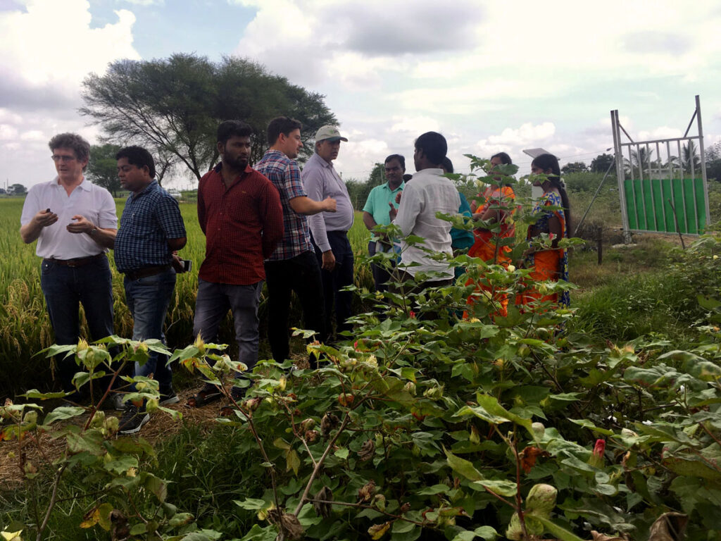
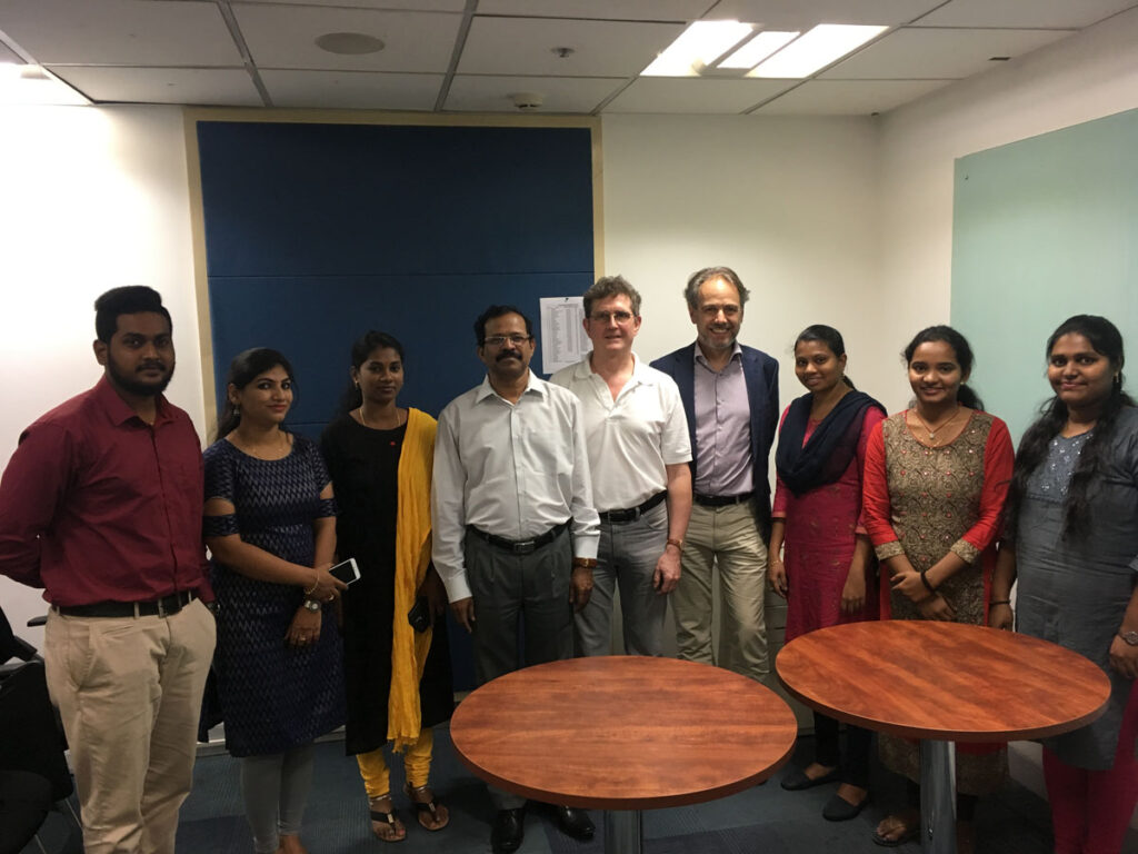
Now selling of the new product had to start. The team was enforced with Florian, Johannes and Dimo. Our first customer was ABACO, with whom we had built a business relationship through various consulting projects. Almost at the same time CropIn, an ambitious startup from India joined. CropIn requested us to provide AgKnowledge for the whole of India.
The customer base grew. Several other startups joined, mostly from the new sector of upcoming farm management systems. The big cooperates like Bayer started to build their own advisory systems from scratch following the hype fuelled by the launch of the Sentinel 2 system. Unfortunately these were not so interested in our service, as they had the power to build it themselves. It just was too early for our business idea.
Now our bootstrapping approach paid off. We didn’t have to match high ROI expectations of investors. We stayed independent and had the time to improve our product, while others vanished or got absorbed.
Growing up
In this constellation we had time to develop a broad expertise and a more powerful platform. We removed the technical and conceptional flaws of the early days. Also the market got more mature. The big promises have been scaled down by reality. Selling data services is not as easy as selling green, red or blue horsepowers. Also the big names had to learn that. But data can be as powerful if applied in an intelligent way.
We learned our lessons as well. The service portfolio got much more complete. It now ranges from regional analytics to sub field level. The end-user needs and not the ones of enabling IT systems have finally become our main focus. Technology must serve ready to use solutions. In the same way we strengthened marketing and sales.
The Road Ahead
The last 10 years have been an exciting journey. Some of our first customers we still serve. We built many personal relationships in the community, no matter if partners, competitors or customers, and had many great encounters.
Data analytics can help us to understand what is going on, help us to change our behaviour, and help to improve lives of the millions of small holders our global agricultural production relies on. We are excited that we can contribute to driving this change forward!
Further Reading
- More about our history by our CEO Stefan Scherer
- More about the technical evolution by our Tech Lead & Full Stack Developer, Johannes Sommer
- Our end-of-the-year newsletter 2023, featuring 10 years of Geocledian
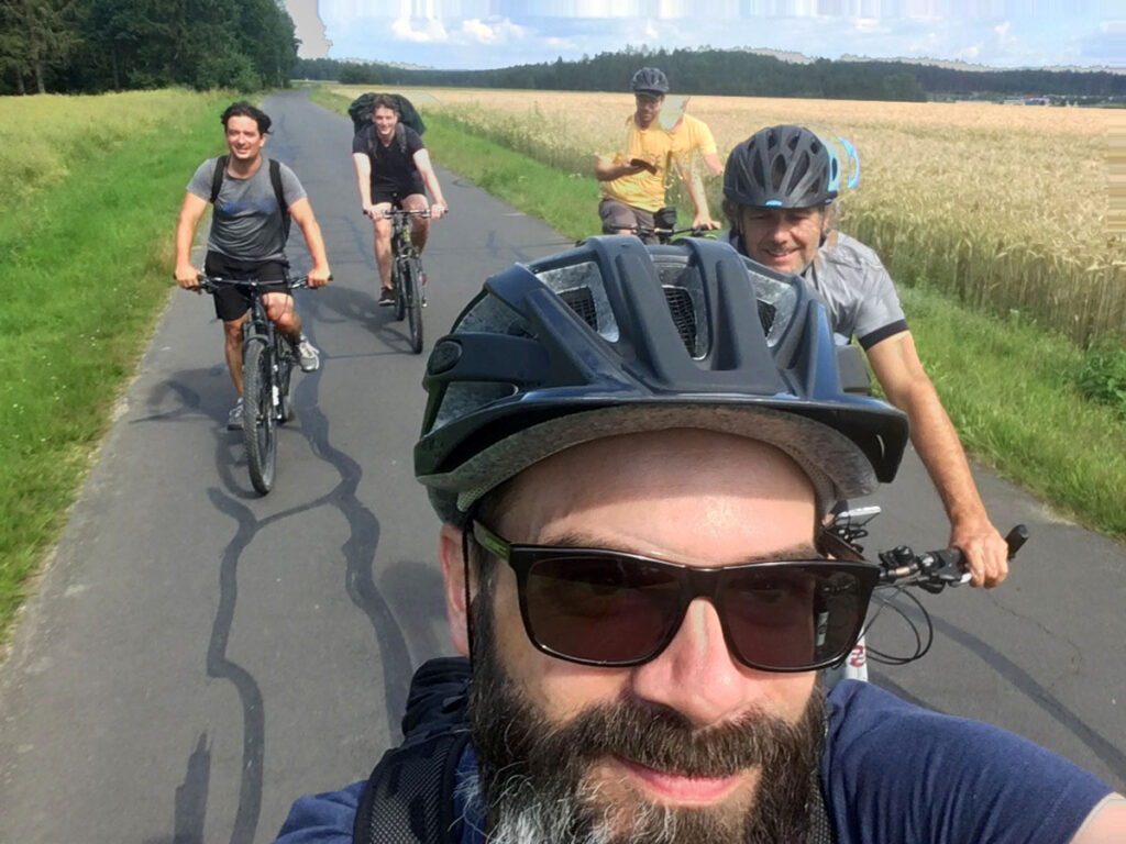
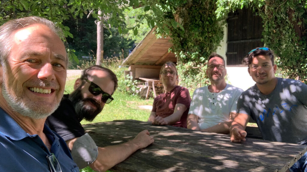
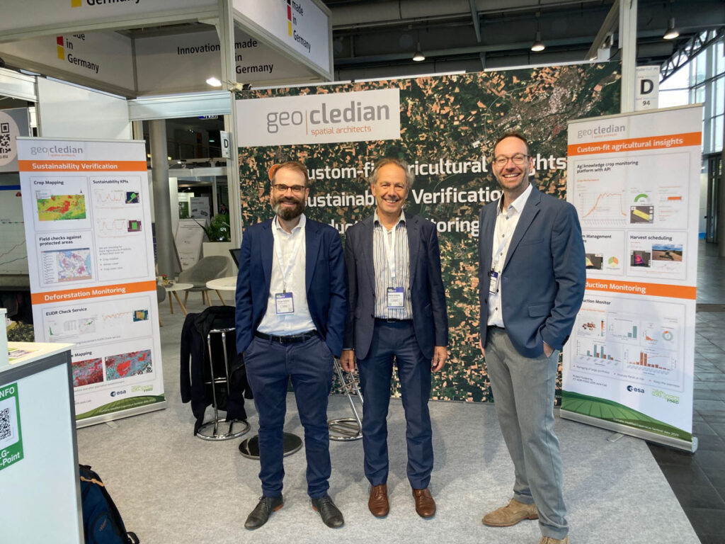
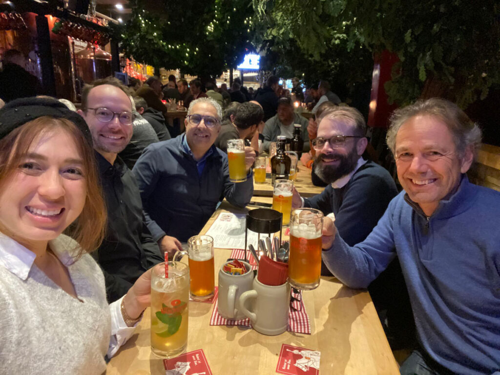
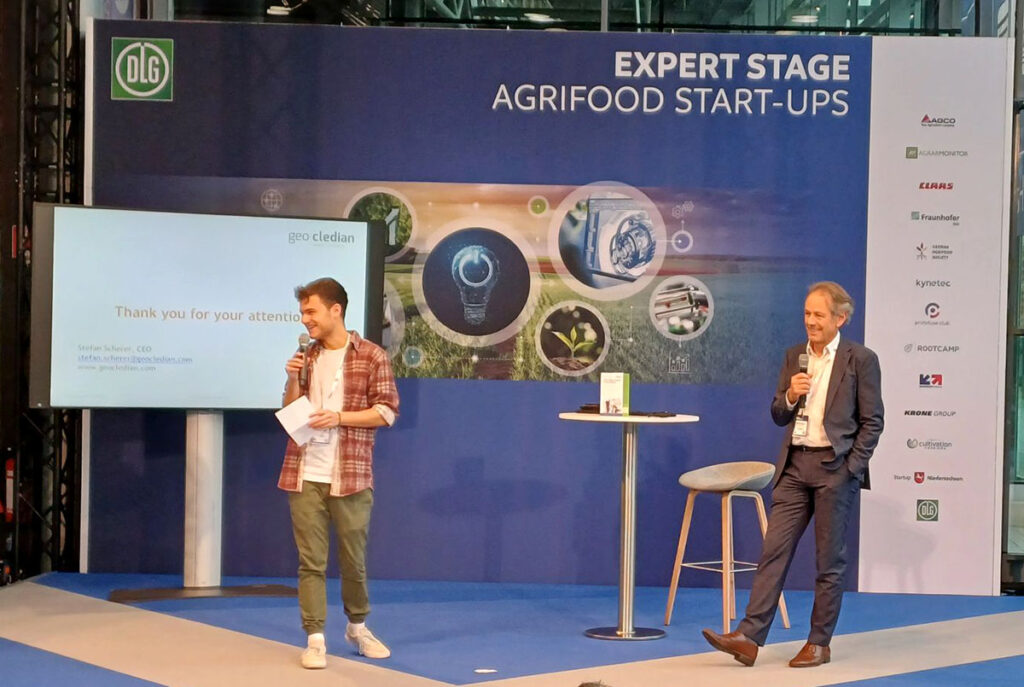
10 years of Geocledian in Images