The crop status product allows for the automated identification of the parcel´s crop status at a specific date. It addressed the following questions:
- How much of the planted seeds have emerged on a specific date?
- How successful were the agricultural practices?
- Where are critical zones within a parcel?
- How much crop yield can we expect?
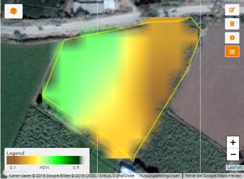
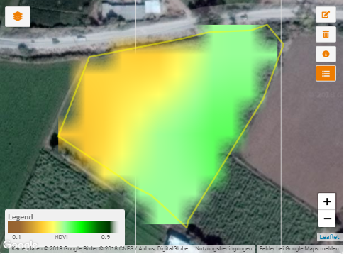
The crop status is provided in form of two metrics: 1) the absolute fractional cover per parcel in hectares, i.e. area within the parcel with active/green/healthy vegetation and 2) the relative fractional cover per parcel in percent, i.e. the ratio of the area of active/green/healthy vegetation to the total parcel area.
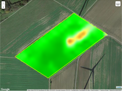
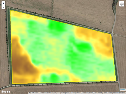
Very often, especially in arid and semi-arid environments, agricultural land cannot be exploited at its optimum due to issues such as soil salinization, water scarcity/drought, pests or missing fertilizer application.These issues can also occur in humid environments and additionally, waterlogging can also lead to zones within parcels with a decreased crop performance.
The metrics also address other issues, not associated with the aforementioned critical situations, but can provide information on parcels with different harvesting schedules or intercropping.